By Pauline Omagwa and Lizbenson
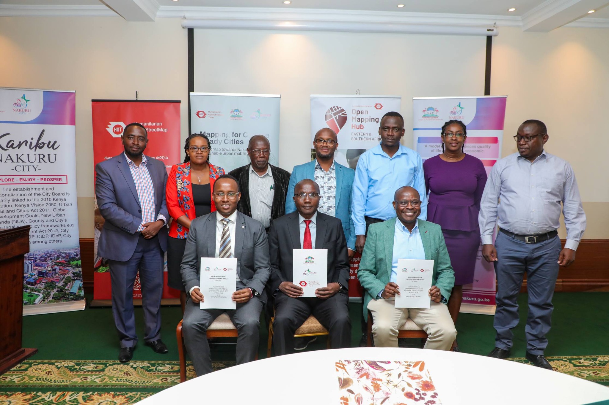
Nakuru City is emerging as a national and regional leader in data-driven urban planning following the formalization of a strategic partnership with the Humanitarian OpenStreetMap Team (HOT). The collaboration, sealed through the signing of a Memorandum of Understanding (MoU), marks a major milestone in the city’s efforts to address rapid urbanization, improve mobility, manage flooding, and enhance service delivery using evidence-based decision-making.
Conferred city status in 2021, Nakuru is Kenya’s fourth-largest city and among the fastest-growing urban centres. This rapid expansion has brought immense opportunities, but also complex challenges, including traffic congestion, pressure on infrastructure, and recurrent flooding in neighbourhoods such as Kiptembwa, Kiamunyi, Rhonda, and Flamingo. Under the leadership of Governor Susan Kihika, the Nakuru County Government has deliberately embraced geospatial data and technology as a foundation for sustainable urban development.
The collaboration between Nakuru County Government and HOT began in 2022 as part of Governor Susan Kihika’s commitment to evidence-based planning, transparency, and inclusive growth key pillars of her development manifesto. The first phase of the partnership, dubbed “Satellite Imagery for Social Good,” focused on building a comprehensive digital inventory of the city.
Using high-resolution satellite imagery combined with artificial intelligence, HOT mapped every building within Nakuru City. Crucially, this technology-driven approach was complemented by community participation. Local residents were trained as mappers and deployed to verify building data on the ground, capturing vital details about informal settlements and neighbourhood conditions that satellite images alone could not reveal.
The outcome was transformative: over 1.4 million building locations were verified by community mappers, creating the most comprehensive spatial dataset the city has ever had. This data enabled Nakuru County to accurately model flood-prone areas using topography and water-flow analysis. For the first time, urban planners could clearly identify high-risk zones and design targeted interventions.
As a result, the county began adopting “sponge city” principles nature-based solutions that allow neighbourhoods to absorb, retain, and filter stormwater rather than channelling it into overwhelmed drainage systems. This approach directly benefits residents by reducing flood damage, improving road safety, and protecting homes and livelihoods.
Building on the success of the initial phase, Nakuru expanded the partnership into comprehensive street-level mapping focused on urban mobility and transport infrastructure. HOT deployed 360-degree cameras mounted on vehicles to capture detailed street-level imagery across the city. These images documented roads, markets, businesses, pedestrian pathways, public transport stops, and social amenities.
Advanced AI tools processed over 100,000 street-level images, extracting critical infrastructure data. Nakuru County staff and trained local mappers then verified and refined the information, ensuring accuracy and local relevance. The scale of this work was unprecedented:
• 500 kilometres of road infrastructure documented
• 600+ public amenities mapped
• Public transport routes and stops comprehensively documented for the first time
For residents, this means better-planned roads, safer pedestrian routes, improved public transport coverage, and more equitable access to services. For city officials, it provides a clear, data-driven picture of how people move, where congestion occurs, and where infrastructure investment will have the greatest impact.
Deputy Governor H.E. David Kones, who witnessed the signing of the MoU, emphasized that geospatial data is no longer a technical luxury but a fundamental tool for modern city management. He noted that the data generated through the HOT partnership will guide priority interventions, including improving public transport accessibility, upgrading road networks, and designing effective flood mitigation measures.
The partnership aligns seamlessly with Governor Susan Kihika’s manifesto, which prioritizes resilient infrastructure, efficient transport systems, climate-smart development, youth empowerment, and transparent governance. Through this initiative, at least 20 local residents have been trained in geospatial mapping, equipping Nakuru youth with marketable digital skills while directly contributing to the city’s development.
All mapping data generated through the partnership is published on OpenStreetMap, a global open-data platform accessible to everyone. Nakuru County retains full ownership of the data with no licensing fees, ensuring long-term sustainability. Citizens, researchers, investors, and planners can view the same maps used by decision-makers, reinforcing transparency and public trust.
According to Deputy Governor Kones, the robust geospatial database developed through this partnership was instrumental in securing World Bank support for the city’s Municipal Spatial Data Infrastructure Geo-Portal, further positioning Nakuru as a smart, investment-ready city.
The MoU signing, attended by CECM for Infrastructure Michael Kamau, County Attorney Caleb Nyamwange, City Manager Gitau Thabanja, HOT Regional Director David Lemayian, and MCAs led by County Assembly Deputy Speaker Anthony Kamau, formalizes what has already proven to be a high-impact collaboration.
As Nakuru continues to grow, geospatial data will remain central to protecting residents, guiding infrastructure investment, and ensuring inclusive, sustainable development. By aligning global expertise with local leadership and community participation, Nakuru City is not only delivering on Governor Susan Kihika’s promises but also setting a benchmark for data-driven urban development across Kenya and East Africa.
Partners: Humanitarian OpenStreetMap Team (HOT) Eastern & Southern Africa Hub, OpenStreetMap Kenya, Microsoft AI for Humanitarian Action
Data Access: OpenStreetMap
Contact: Nakuru County Government – Urban Planning Department