Written by Hillary Fletcher
Nakuru County continues to strengthen its position as one of Kenya’s fastest-growing economic hubs through deliberate, people-centred investments in infrastructure. Propelled by Governor Susan Kihika’s commitment to equitable development, the County has accelerated road improvement, enhanced urban mobility, modernised public works, and strengthened transport systems to support trade, agriculture, and everyday movement for residents.
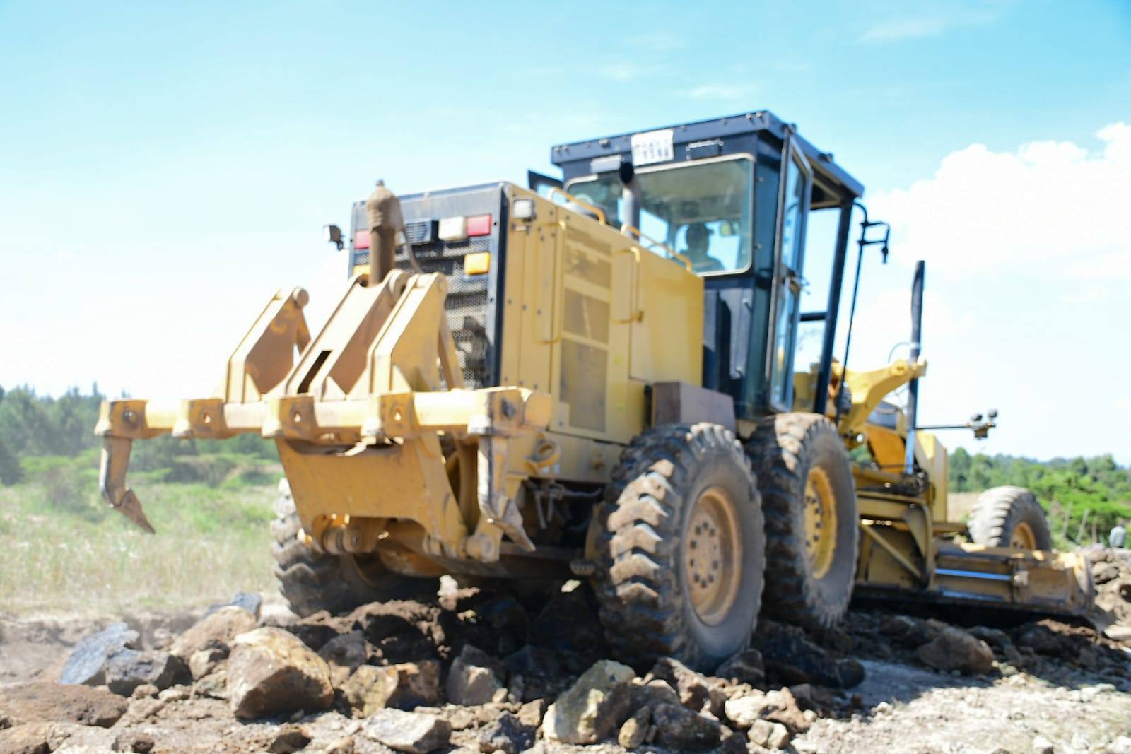
A greater focus has been evident through the Imarisha Barabara Programme, which has transformed road access across all sub-counties. To date, the County has graded 513 kilometres of roads, gravelled 383 kilometres, constructed more than 10 bridges, and installed 206 streetlights to improve safety and visibility. Urban roads have been upgraded in Rhonda, Biashara, and Flamingo estates, significantly reducing travel time, decongesting neighbourhoods, and boosting small enterprise growth in Nakuru City.
To fast-track road opening and rehabilitation, the County recently signed a Memorandum of Understanding with the National Youth Service (NYS). This collaboration is already increasing the speed, efficiency, and value-for-money in road works, with NYS machinery being deployed across sub-counties. In Kuresoi’s tea-growing areas, Tea Cess Funds have been directed towards upgrading crucial farm-access roads, improving the movement of produce and strengthening the agricultural economy. More than 700kilometres will be upgraded across the county.
On the other hand, the Directorate of Public Works continues to guarantee quality through strict oversight in drainage construction, stormwater infrastructure, and adherence to engineering standards. This ensures that every public project is durable, safe, and aligned with modern urban development principles.
Regionally, Nakuru is set to benefit greatly from the Rironi–Mau Summit Highway dualling project, launched recently. The 175-kilometre upgrade will modernise the region’s busiest transport corridor, enhancing Nakuru’s role as a national and East African commercial gateway.
Looking ahead, the County remains committed to expanding non-motorised transport facilities, strengthening the Roads Maintenance Levy-funded projects, and ensuring that every ward continues to experience tangible, sustainable improvement in infrastructure.
In a nutshell, the county continues to make significant progress in matters of infrastructure as aligned in the County Integrated Development Plan.