Written by Annette Njoroge
The County Government of Nakuru, through the Department of Lands and Urban Development, is collaborating with FSD-Kenya to develop the Land Information Management System (LIMS), which will support Nakuru’s ambition of becoming a well-planned County, promote sustainable development, and upgrade living standards for its citizens.
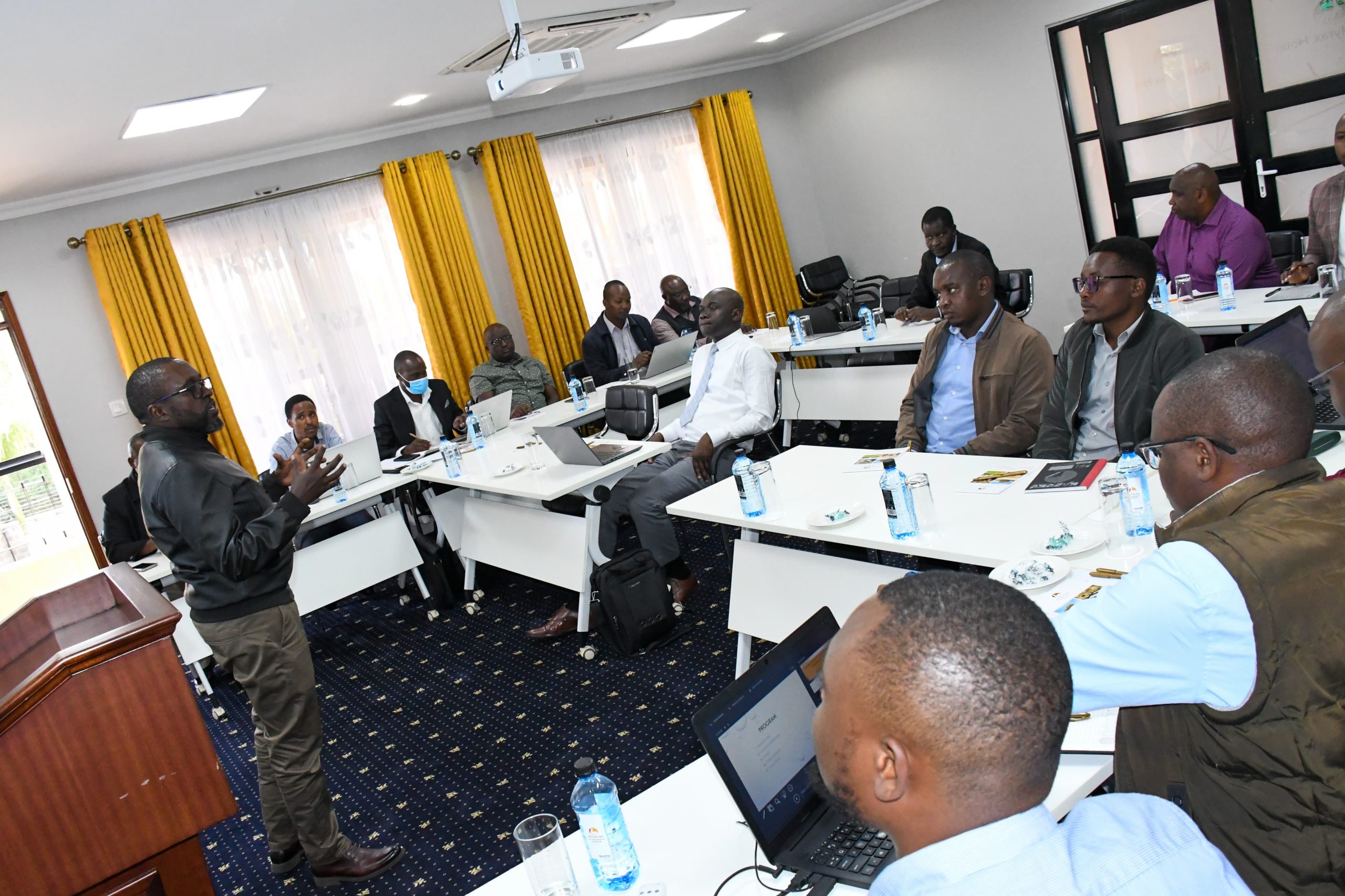
In an inception meeting, officiated by Arch. Kamau Kuria, Chief Officer for Housing and Urban Development stakeholders including Planners, Surveyors, ICT experts and Digireg – Kenya Consultants deliberated on the clear scope of the projects ensuring the system would be tailored to Nakuru’s unique urban Land Management needs.
LIMS is an integrated and comprehensive system designed to efficiently manage and provide information on urban land use by combining both spatial and non-Spatial land data that aims to bridge the gap between the County’s growing population and the demand for efficient land use and Planning.
The system will centralize land information, offering a detailed database that tracks land ownership, land use, and land zoning. This data will be pivotal in informed decision-making on infrastructure, Housing, and Public services.
Mr Kuria highlighted that LIMS will be a reliable data source aiding urban Planners in decision-making, such as Land use, Planning, and Zoning, which are key in revitalizing some of the decaying urban centres under H. E. Governor Susan Kihika’s Urban Regeneration Agenda.
Ms Stella Mwaura expressed gratitude to FSD – Kenya for enabling the process noting that the system which will be piloted in Nakuru Town East and West benefits an additional six in Wards according to the Integrated Strategic Urban Development Plans (ISUDP).
The extra wards will include Mosop and Menengai West in Rongai Sub-county, Kiamaina and Lanet Umoja Wards in Bahati and Eburu Mbaruk in Gilgil.
The system is a key agenda in H. E Governor Susan Kihika’s manifesto on service digitalization. The Department automated its services through the development of the electronic Development Application Management System (e-Dams) which will be further integrated with Lims to ensure real-time capture and improve efficiency in the entire land administration.
LIMS will further offer the public and stakeholders access to their land-related information therefore promoting community engagement and accountability.
A robust LIMS will promote more effective citizen service delivery through its own source revenue collection, as it enables transparent and accurate land records data management, resource mapping, spatial planning and property valuation by the County.